Geographic Information Systems • GIS
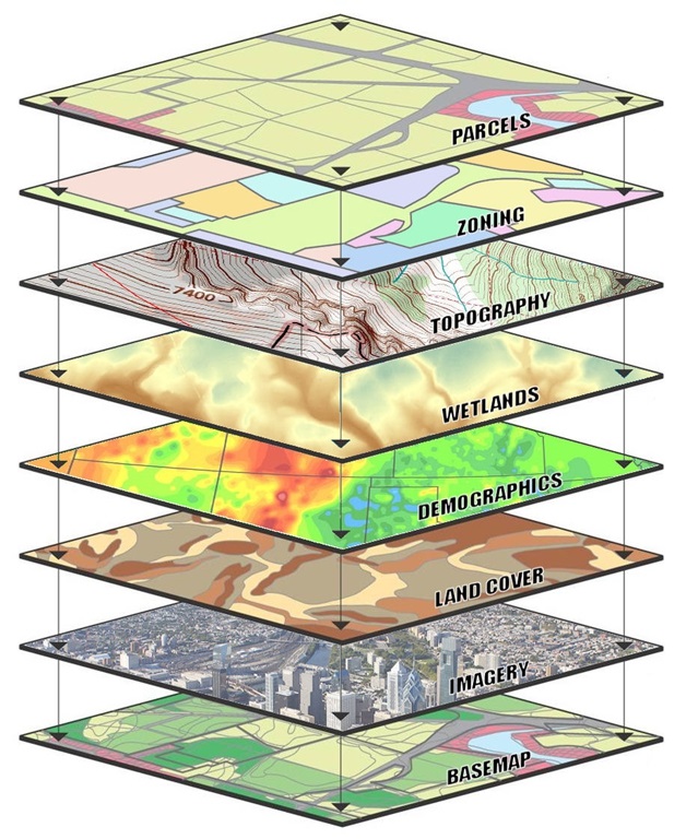
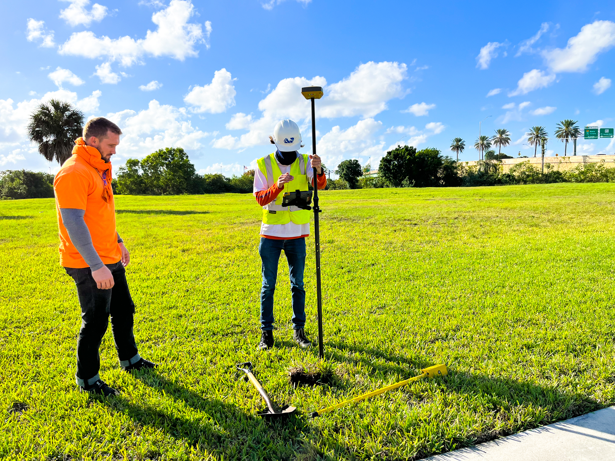
Caulfield & Wheeler, Inc. has been operating as a professional Surveying & Mapping firm in Florida for over 35 years, including the provision of Geographic Information Systems or GIS services. GIS is used to analyze spatial location, using organized layers of information, combined into visualizations using various maps and 3D elements. By combining maps, data, analysis, and applications, Caulfield & Wheeler is able to provide our municipal and private clients with the best quality GIS deliverables within their budgetary requirements. Caulfield & Wheeler’s GIS department works collectively with our Survey, UAS, 3D Laser teams to accurately collect and analyze data from the field, and convert it to a new or existing GIS database. CWI maintains perpetual desktop licenses of Esri ArcGIS Pro and a collection of extensions required to provide our clients the deliverables needed. The GIS team at Caulfield & Wheeler is capable of acquiring data from a wide variety of sources in a variety of different formats, including the most recent local, state, and federal datasets, internally acquired aerial and satellite imagery, digital elevation models (DEMs), CAD drawings, KML & KMZ files, client-provided files, and traditional GPS data collection.
Scope of GIS Services Provided:
- 3D Surface Models
- ArcGIS Online
- Asset Management
- Contour Mapping
- Converting CAD to GIS
- Data Validation
- FEMA Floodplain
- Geospatial Prediction Modeling
- Land Use Mapping
- NPDES Permitting
- Local, State, & Federal Agency Coordination
- Storm Water Pollution Prevention Plans
- Maintenance Tracking
- Utility Mapping
- Utility Corridor Surveys
- Wetland Mitigation, Monitoring, And Restoration


