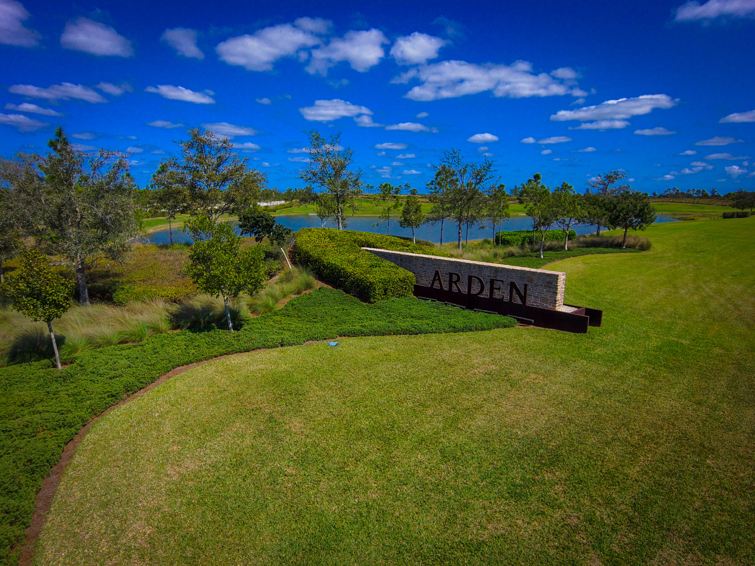
Geomatics, Land Surveying, & Mapping
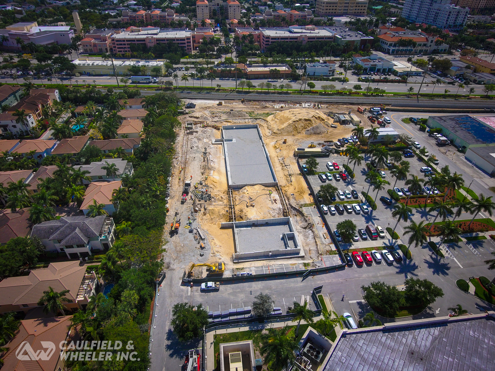
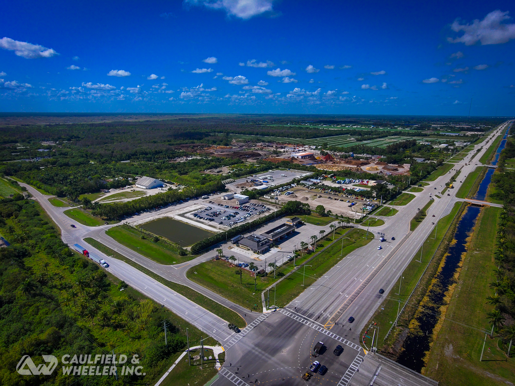
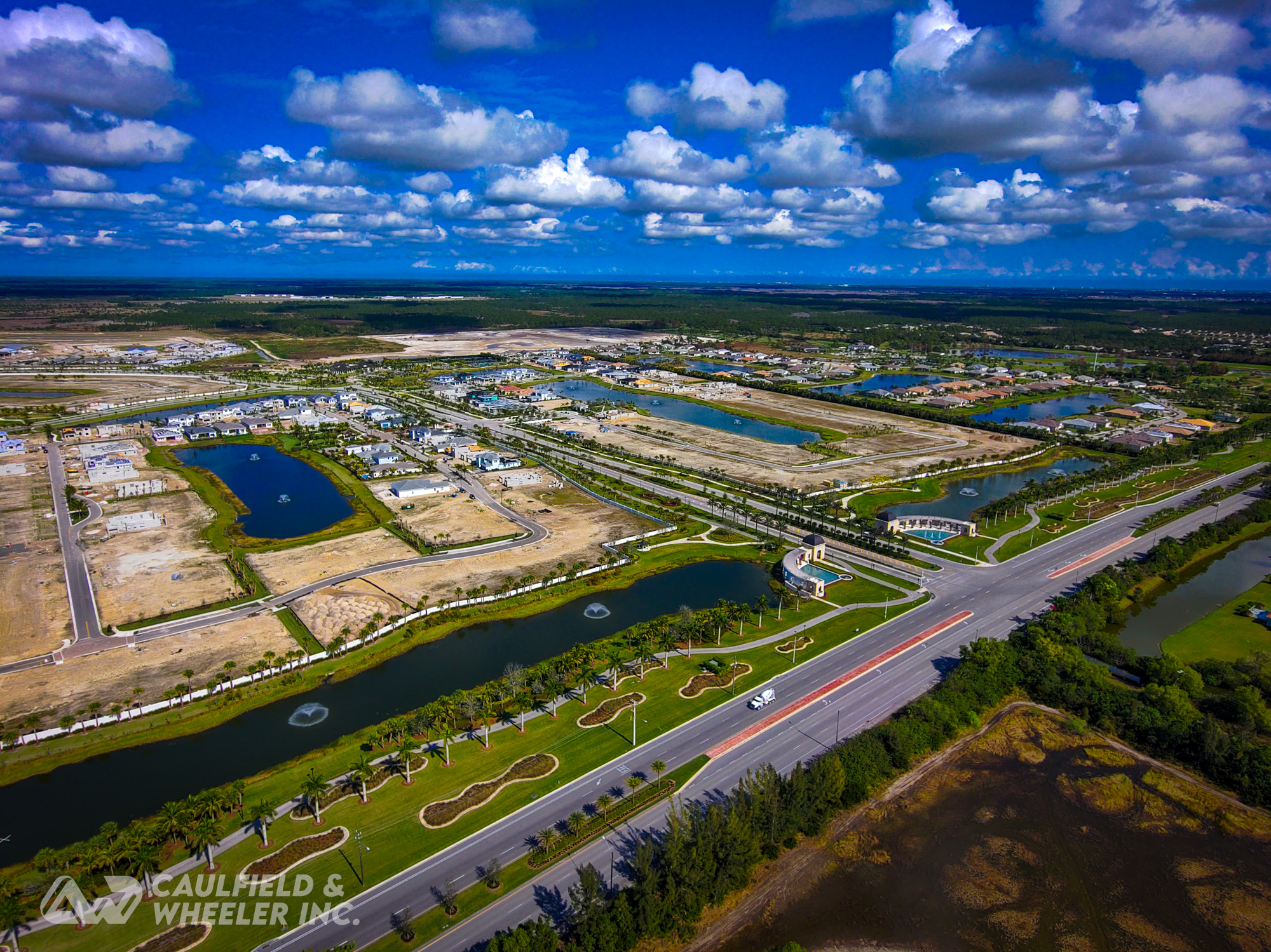
Caulfield and Wheeler, Inc. was established in 1982 as a specialized surveying and mapping firm. For almost 40 years, the firm has continued to grow and diversify and is now recognized as a leader in the field of geomatics, land surveying, & mapping. Caulfield and Wheeler has 21 fully equipped field crews, and offers a full array of surveying services; including high definition laser scanning, automated hydrographic surveying, topographic surveys, boundary surveys and platting, vertical / horizontal geodetic control surveys, photogrammetry, construction stakeouts and as-builts, mean high water (tidal) demarcation surveys, and right-of-way surveys. The firm also has specialized expertise in inland waterway, marsh, transitional region, coastal, and oceanographic data acquisition.
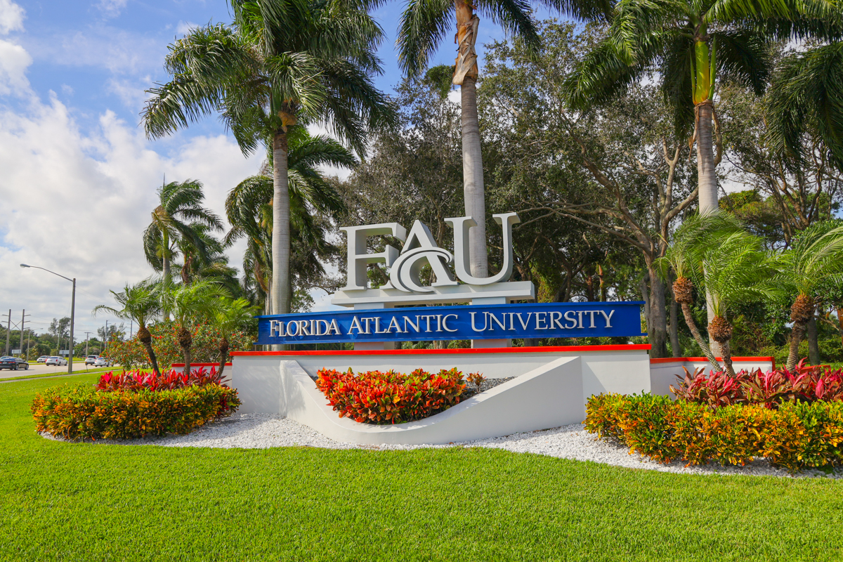
Services have been provided throughout the Southeast United States and clients have included many government agencies such as the U.S. Army Corps of Engineers, Jacksonville and Mobile Districts, State of Florida Department of Environmental Protection, Florida Department of Transportation, South Florida Water Management District and a multitude of local counties and municipalities throughout the State of Florida. Thousands of projects have been completed to date, encompassing a full range of survey assignments.

[3D Laser Scanning for Runway 9R-27L at FLL International Airport, Fort Lauderdale, FL]
Scope of Surveying Services Provided:
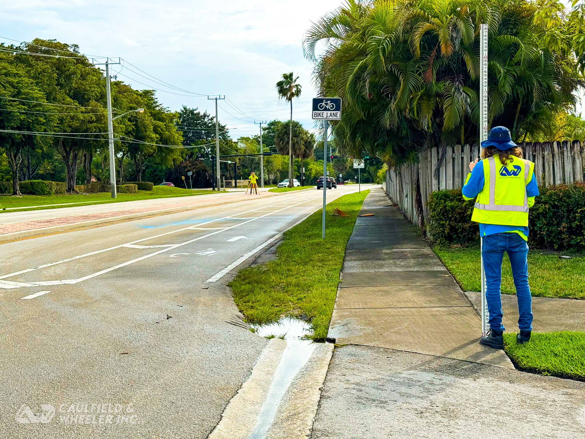
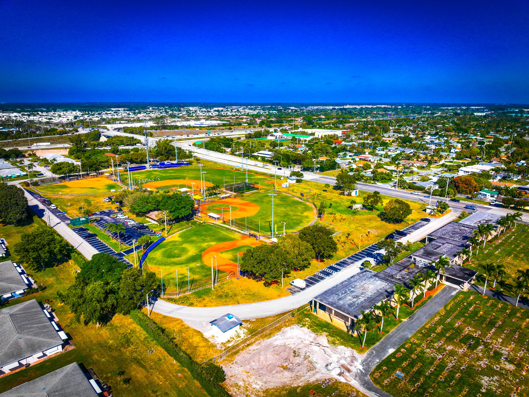
Topographic Planimetric Surveying and Mapping
- Feature location
- Photogrammetric verification
- Coastal topographic surveys for beach profile monitoring programs
- Topographic surveys for detailed design of major engineering projects
- Topographic surveys for construction layout and alignment and as-built purposes
- Surface and subsurface surveys on beaches, levees, canals, breakwaters, groins, embankments, and other similar structures
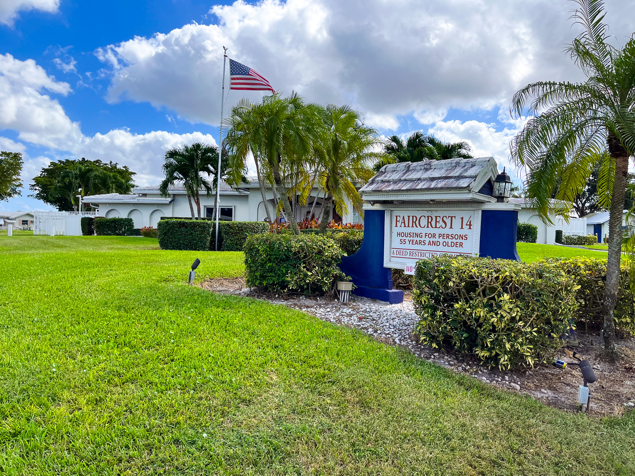
Cadastral/Boundary Surveys
- Mean high water demarcation and ordinary high water demarcation
- State lands boundary establishment and erosion control line recording
- Property surveys
- Plat Preparation
Right-of-Way Surveys
- Recovery and location of existing right-of-ways
- Research and acquisition of all previous right-of-way maps and plats
- Location of easements or encumbrances
Automated Hydrographic Surveys
- Beach nourishment and monitoring programs
- Offshore hydrographic surveys for coastal monitoring projects
- Coastal inlet hydrographic surveys for inlet management programs
- Channel condition and monitoring
- Pre- and post-dredge hydrographic surveys for quantity estimates and as-built chart preparation
- Inland lake and canal hydrographic surveys
- Wetland and transitional area surveys for environmental programs
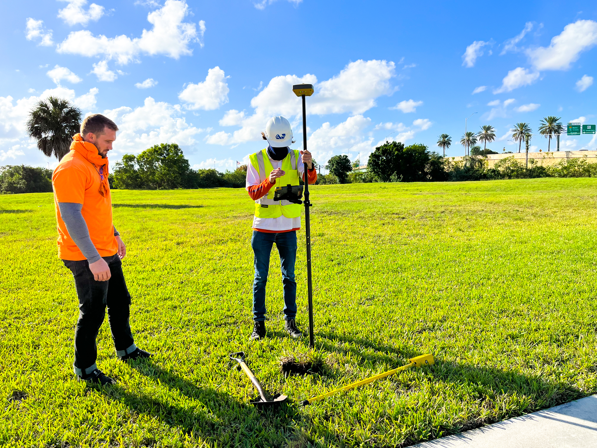
Horizontal and Vertical Geodetic Control Surveys (GPS Surveys)
- Control establishment for planning, design, construction or maintenance of engineering projects
- Photogrammetric and LiDar control support
- Control establishment for GIS programs
Additional Surveying Services:
- FEMA Elevation Certificate Surveys
- ALTA/Land Title Surveys
- Geographic Information Systems Services (GIS)