About Caulfield & Wheeler, Inc.

Since 1982, Caulfield & Wheeler, Inc. and its principals have been dedicated to delivering exceptional Civil Engineering, Planning, Land Surveying, and Landscape Architecture services. Over the decades, we have contributed to prestigious developments and governmental projects across Broward, Dade, Palm Beach, Martin, and St. Lucie Counties. Backed by over 80 years of combined experience, our principals actively oversee each project to ensure the highest technical and quality standards are met while addressing our clients’ budgetary and scheduling needs.

Our diverse project portfolio includes everything from high-end oceanfront residences to Developments of Regional Impact (DRIs). We have managed an array of new construction and redevelopment projects, including retail and mixed-use center revitalizations, municipal centers, public parks, planned-unit developments, and residential communities. Additionally, we have conducted numerous design surveys for governmental agencies, schools, and universities, earning a reputation for precision and excellence.

At Caulfield & Wheeler, Inc., we are committed to innovation and technological advancement. Our work is enhanced by the latest computer hardware and software systems, which we continually update to maintain a competitive edge. This dedication to technology allows us to deliver solutions that are both efficient and cost-effective, meeting the unique needs of every client.

The firm’s Civil Engineering division brings extensive experience across all phases of public and private projects in Florida, including study, design, and construction. Our expertise spans sanitary sewer systems—whether individual, gravity, or pressure—along with water distribution systems, stormwater management systems, and roadway networks ranging from local streets to major collector roads. Over the years, we have developed strong relationships with permitting agencies, allowing us to successfully navigate the complex multi-agency permitting process and deliver results on time.

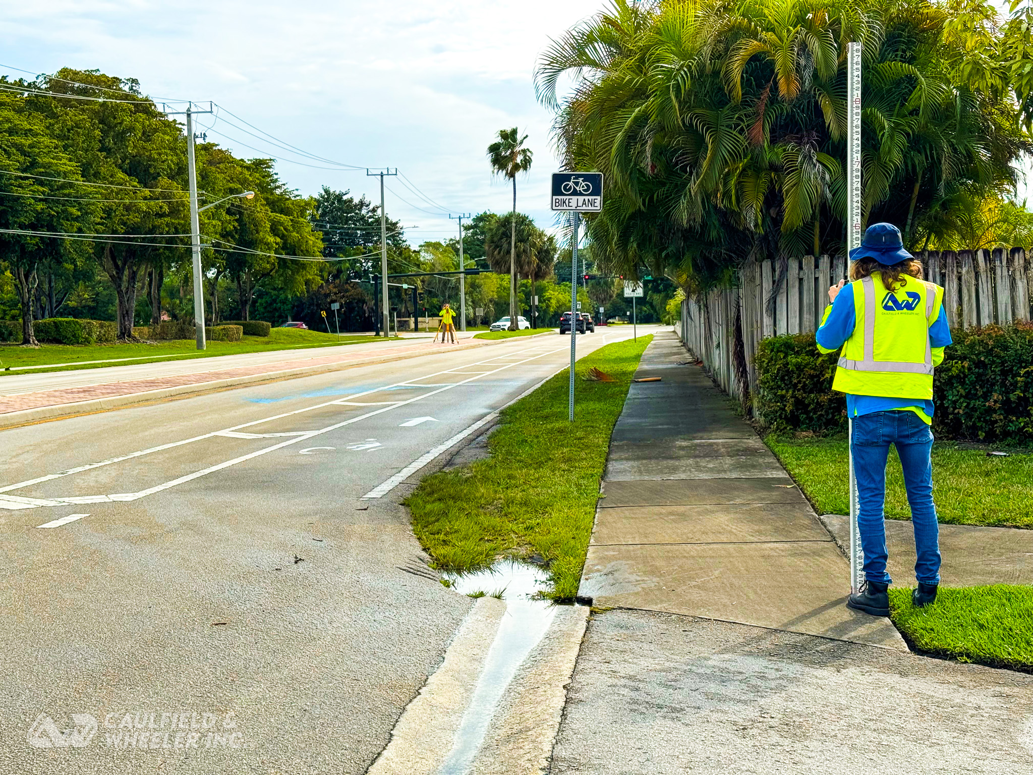
Our Land Surveying division is built on decades of experience serving the Southeast Florida region. We offer a full range of services, including boundary surveys, topographic surveys, tree surveys, final construction layouts, and as-built documentation. Our team has completed countless route and location surveys to support the design of roadways, water systems, sewer systems, drainage systems, and utility networks. As part of our commitment to precision, we utilize advanced 3D Laser Scanners to provide the most accurate and reliable survey data possible.

The Landscape Architecture division at Caulfield & Wheeler, Inc. provides comprehensive design and planning services. These include the preparation of site plans, landscape plans, grading plans, lighting plans, irrigation plans, water and land use plans, and environmental plans. From single-family estate homes to large-scale subdivisions, we design and deliver entry features, clubhouses, parks, and roadway landscaping that seamlessly integrate function and aesthetics. Our team also manages all specifications, calculations, and permitting to ensure projects progress smoothly and meet the highest standards.

For over four decades, Caulfield & Wheeler, Inc. has built a reputation for technical excellence, attention to detail, and unwavering commitment to client satisfaction. By combining innovation, experience, and quality-driven solutions, we continue to serve as a trusted partner for projects of all sizes throughout Southeast Florida.

Mission

CWI’s mission is to deliver high-quality engineering, surveying & mapping, and landscape architecture services that help shape better, safer, and more sustainable communities across Florida. We approach each project with integrity, technical expertise, and an understanding of local conditions, to provide smart, practical outcomes that support both our clients’ goals and the public good. Through strong leadership, collaboration, and a commitment to ethical standards, we work to earn trust and deliver practical, reliable solutions that add value throughout every project phase.

Vision

Our vision is to be a trusted partner in building Florida’s future, known for technical excellence, responsive service, and meaningful contributions to the communities we serve. We aim to lead with innovation, grow through strong relationships, and continue investing in the people, tools, and practices that allow us to adapt, evolve, and thrive in an ever-changing environment.

UAS/Drone Operations

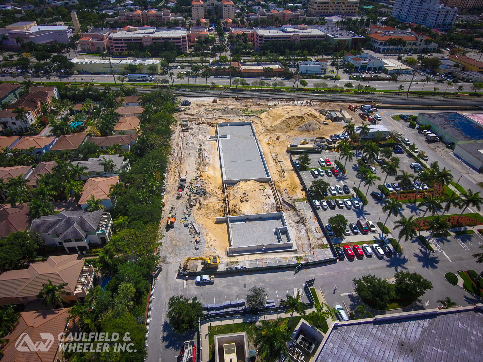
Caulfield & Wheeler, Inc. has been providing FAA Part 107 Certified, Authorized, and Insured UAS/Drone operations, since 2018. By utilizing the most advanced technology available in the unmanned aerial vehicle market, Caulfield & Wheeler is able to accurately scan, inspect, photograph, video, or survey a wide variety of areas that were previously either too-large or unreachable by a GPS field crew. By implementing the highest quality peripherals like Lidar with RGB sensors, thermal sensors and cameras, cinema cameras, and high-resolution mapping cameras, we’re able to provide a variety of services for our clients to maximize their development project.

Sun Sentinel Top Workplaces 2026

CWI AWARDED #6 MIDSIZE TOP WORKPLACE

Caulfield & Wheeler, Inc. was ranked as the #14 medium-sized business in the 2026 Sun Sentinel Top Workplaces program! Congratulations to all the other winners in every category.

@cwiassoc on Instagram

**What’s a Peg Test? 📐**

A level’s line of sight should be perfectly horizontal, but bumps and travel can knock it slightly off. The **peg test** checks for that error before our crews head out.

1️⃣ Set two points about 100–200 feet apart.
2️⃣ Set up the level exactly halfway and read both. Equal distances cancel any error, giving the **true** height difference.
3️⃣ Move the level close to one point and read both again.
4️⃣ If the two height differences don’t match within tolerance, the level needs adjustment.

Accurate elevations start with accurate equipment. ✅

#Surveying #LandSurveying #PegTest #QualityControl #cwiassoc
As a Platinum Sponsor of FAU's 2026 Infrastructure Night, Caulfield & Wheeler, Inc. invites our fellow engineering, surveying and construction professionals to join us for an evening celebrating the future of our industry.

This year, Florida Atlantic University's Department of Civil, Environmental and Geomatics Engineering marks 25 years of educating the engineers and surveyors who design, build and strengthen South Florida's communities. Nearly 2,000 graduates later, the program's impact is visible across our industry, including on our own team.

Keynote: Steven C. Braun, P.E., Secretary, FDOT District Four

📅 Wednesday, November 4, 2026
🕕 6:00–8:00 p.m. ET
📍 Grand Palm Room, FAU Student Union, Boca Raton

Come connect with industry leaders, agency partners, alumni, faculty and the students who will soon be joining our profession. Be sure to stop by and say hello to the C&W team!

Register: https://bit.ly/4jJhbWj

More Events: https://cwi-assoc.com/events

#FAU #InfrastructureNight #CivilEngineering #Surveying #Geomatics #FDOT #SouthFlorida #BocaRaton #Infrastructure #EngineeringEducation #cwiassoc
Caulfield & Wheeler is excited to share that our own Andrew L. Beckwith, SIT, CST I, Director of Special Projects & UAS Operations, will be the featured speaker at this month’s joint meeting of the Florida Surveying & Mapping Society Palm Beach Chapter and FAU Chapter. FAU College of Engineering and Computer Science ASPRS - Florida Atlantic University Student Chapter @fau.fsms @fau_asprs @floridaatlantic 

🚁 Aerial LiDAR & Photogrammetry for the Practicing Surveyor: Capabilities, Limits, and Quality Control
📚 Course No. 11419

Drones and aerial mapping are now part of everyday surveying work. Andrew will cover where aerial LiDAR and photogrammetry perform well, where they fall short, and the quality control practices that make the data defensible. He’ll draw on the UAS work our team does every day across South Florida.

📅 Tuesday, October 27, 2026
🕕 6:00–8:00 PM
📍 FAU Engineering East, Conference Room 405 (4th Floor), Boca Raton

The evening includes CEUs, dinner, and time to network with fellow surveying and geomatics professionals and FAU students.

🎟️ Get your tickets at fsms-pbc.org

We hope to see you there. Come say hello to the C&W team!

#CaulfieldAndWheeler #FSMS #Surveying #FloridaSurveyors #Geomatics #LiDAR #Photogrammetry #UAS #DroneMapping #ProfessionalDevelopment #FAU #cwiassoc
44 years. 🎉

Since 1982, Caulfield & Wheeler has been engineering, surveying, and flying across Florida. Thank you to our clients, partners, and team for every project along the way. Here’s to what’s next! 🚁📐🌴

#CaulfieldWheeler #44Years #CivilEngineering #LandSurveying #Drones #UAS #BocaRaton #PortStLucie #FloridaBusiness #cwiassoc
Where can you find Caulfield & Wheeler this fall? 📅

Between now and World GIS Day, our team has four events on the calendar: a career fair for future engineers, a talk on aerial LiDAR and photogrammetry, a statewide geospatial workshop, and a free GIS festival we’re sponsoring right here in Boca Raton.

Whether you’re a student looking for your first internship, a surveyor earning CECs, or just curious about drones, maps and 3D data, there’s something on the list for you. The first one is tomorrow, so don’t wait.

See all the dates, details and ticket info on our events page 👇
https://cwi-assoc.com/events/

#CaulfieldWheeler #Surveying #CivilEngineering #LiDAR #GIS #UAS #GISDay #cwiassoc
Caulfield & Wheeler is looking forward to being a Gold Sponsor of GIS Mela 2026 at Florida Atlantic University! 🌎 @fau.fsms @fau_asprs @fwea_fau @floridaatlantic @fauengineering 

On World GIS Day, Tuesday, November 17 (9 a.m. – 3 p.m., FAU Student Union, Boca Raton), the FAU student chapters of ASPRS, FSMS, and FWEA are hosting a free, one-day festival of data, maps, users, and tools. The event is open to all majors, and no GIS experience is required. ASPRS - Florida Atlantic University Student Chapter, FAU College of Engineering and Computer Science, 

Our Special Projects & UAS Operations team will be there with a hands-on table and a live demo. We’ll show how surveying, drone mapping, and geospatial data come together on real engineering and survey projects. Stop by to talk careers, see the equipment up close, and ask us anything.

The day also marks the public launch of CWR³ Data, a flood data and modeling platform from FAU’s Center for Water Resiliency & Risk Reduction. We’re excited to see it in action.

Thank you to the ASPRS, FSMS, and FWEA student chapters for putting this together. Supporting the next generation of surveyors, GIS analysts, and water engineers is something we care about. See you on the 17th!

#GISDay #WorldGISDay #GISMela2026 #FAU #Surveying #Geomatics #UAS #DroneMapping #LiDAR #CivilEngineering #CaulfieldWheeler #cwiassoc
Did you know it’s Earth Science Week? As part of this week’s focus on STEM, today is Earth Observation Day, which highlights the remote sensing technology that helps us observe, understand, and learn more about our planet.

Aerial imagery and drone technology offer a fresh perspective of Earth, turning views from above into valuable geospatial insights. CWI’s UAS teams use LiDAR and other advanced remote sensing tools to capture detailed information and reveal patterns that might otherwise go unnoticed.

From high-resolution imagery to data-driven discoveries, Earth observation helps us see more and uncover new insights about the world around us.

#EarthObservationDay #EarthScienceWeek #Surveying #DroneSurveying #UAS #GIS #LiDAR #LaserScanning #cwiassoc
Before construction or improvements begin, it’s important to understand the site. CWI has supported park projects for municipalities across South Florida by providing the detailed site information needed for better planning. From traditional surveying and aerial photogrammetry to LiDAR and 3D laser scanning, we use the right tools to get a clear picture of what’s there. Better data leads to smarter planning and helps create park spaces that serve our communities.

Sabal Palm Park | @cityoftamarac 
Surveying and 3D laser scanning for park improvements.

Thomas A. McGillicuddy Eco Park | @cityofboyntonbeach 
Surveying, aerial photogrammetry, and LiDAR for park renovations and upgrades.

City Centennial Park/Wimberly Field | @cityoaklandpark
Surveying and mapping for park improvements.

#Surveying #LandSurveying #DroneSurveying #DroneMapping #DronePhotogrammetry #LiDAR #3DLaserScanning #3DMapping #SouthFlorida #ParkProjects #MunicipalProjects
Loading the next set of instagram posts...
0
GPS Field Crews
0
UAS Pilots
0
Years In Business
0
Employees
0k+
Projects Completed

Markets We Serve

Caulfield & Wheeler, Inc. Professional Associations

ABC – Association of Builders & Contractors
ACEC - American Council of Engineering Companies
AGC – Associated General Contractors
ASCE - American Society of Civil Engineers
ASPRS - American Society for Photogrammetry and Remote Sensing
Boca Chamber
FES - Florida Engineering Society
FSMS - Florida Surveyors & Mappers Society
GCBA - Gold Coast Builders Association
NSPE - National Society of Professional Engineers
NUCA - National Utility Contractors Association
SMPS - Society for Marketing Professional Services
TCBA - Treasure Coast Builders Association
WEF - Water Environment Federation