Avenir | Palm Beach Gardens, FL
Residential, Commercial, Mixed-Use
Project Details:
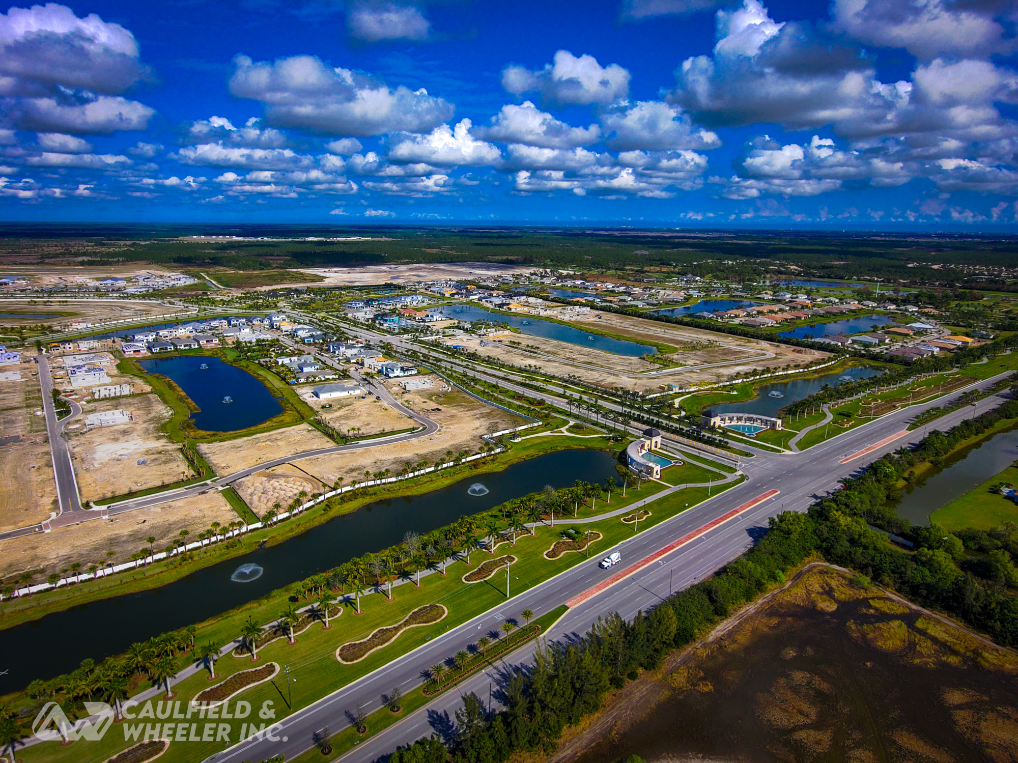
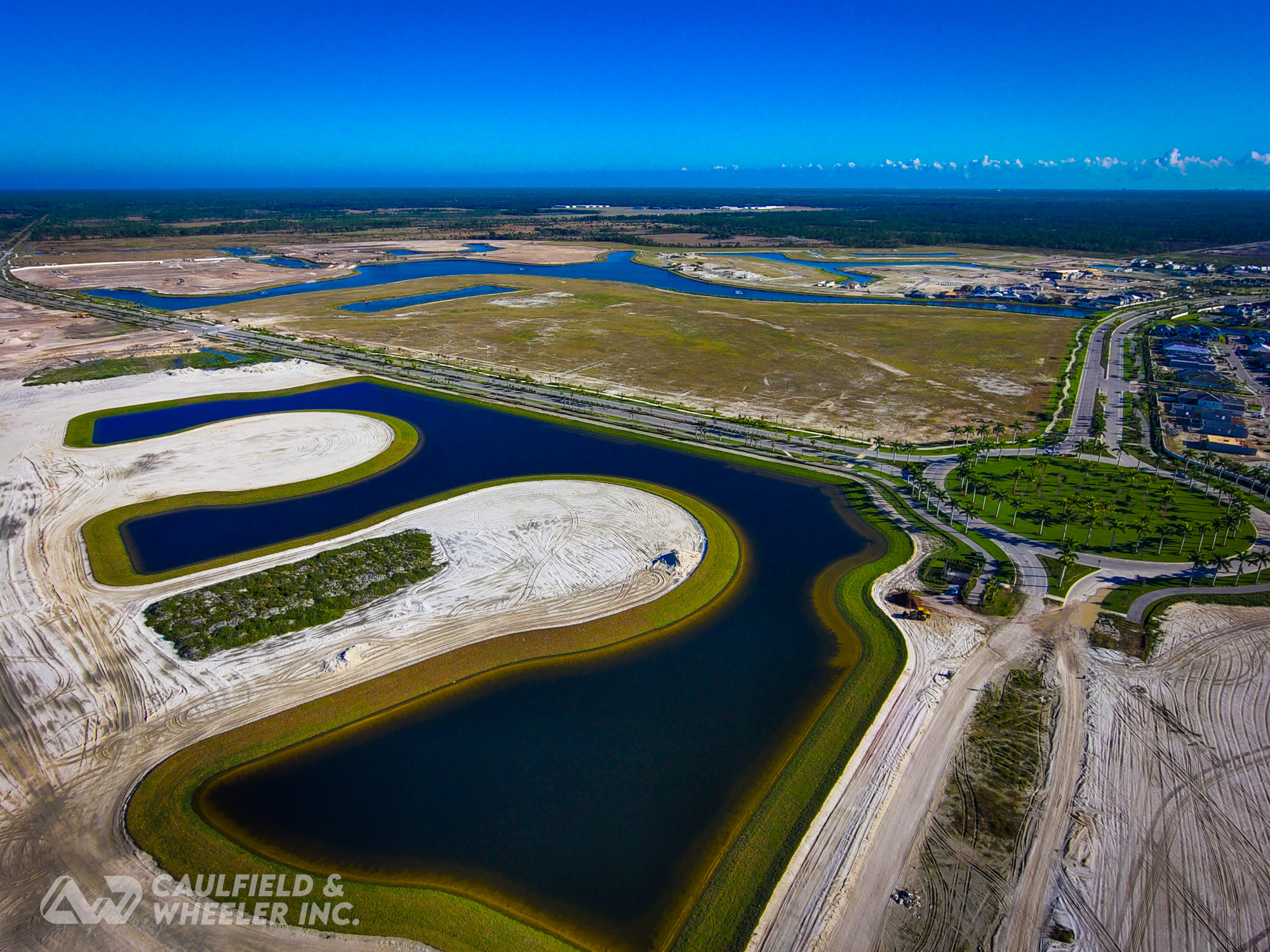
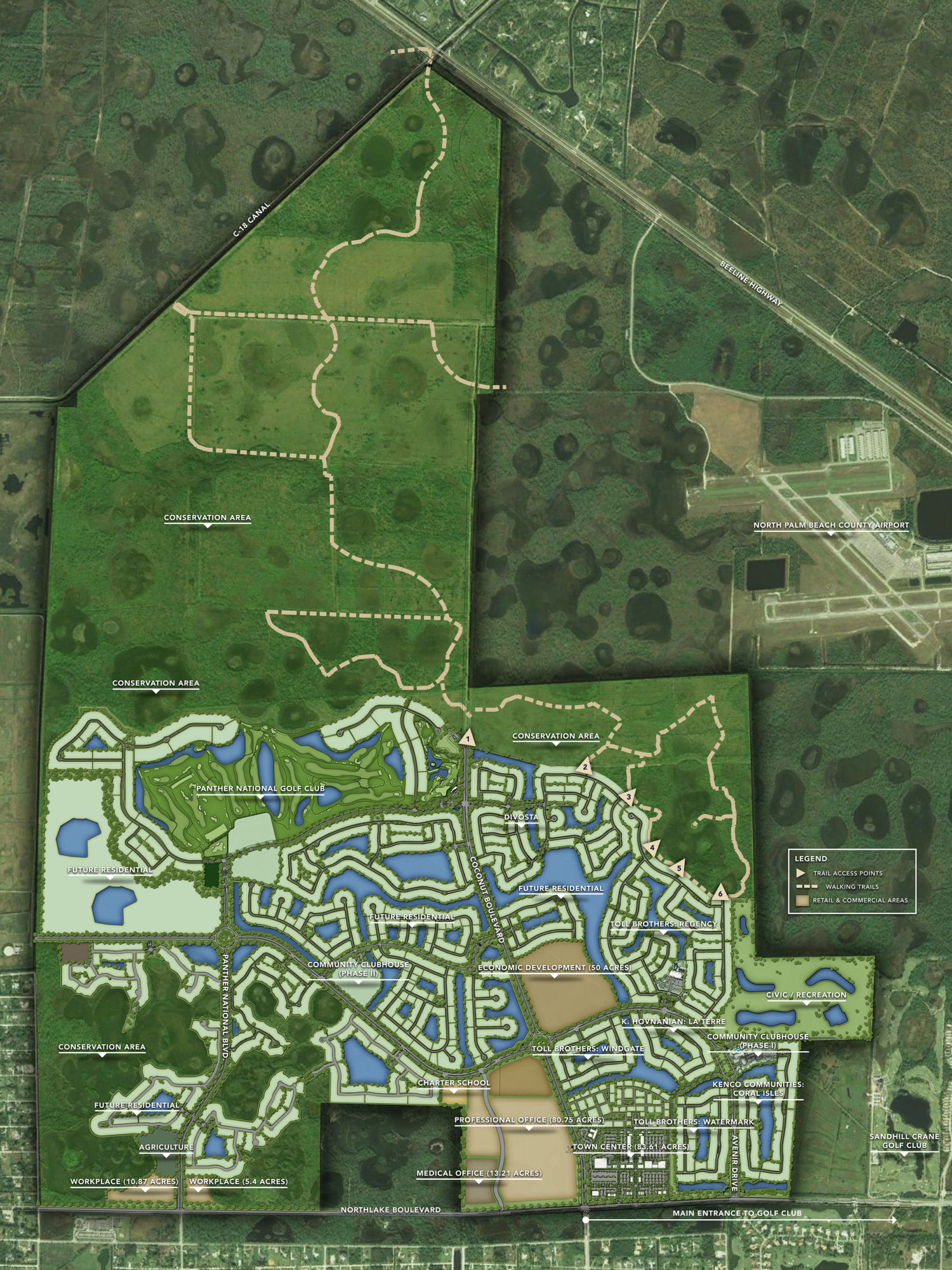
Avenir is the most innovative Master Planned mixed-use development to happen to Palm Beach County in a generation. This new sustainable community located in prestigious Palm Beach Gardens was conceived by a creative team of award-winning, visionary architects, designers, and planners who bring creativity and thought to every detail. Located off Northlake Boulevard in the quaint City of Palm Beach Gardens, Avenir is a mixed-use development comprised of residential homes, commercial businesses, public schools, recreational parks, and nature preserve areas. Formerly known as Vavrus Ranch, Avenir spans across 4,763 acres of farmland. Avenir is being developed by Landstar Group, a company based out of Coral Gables, Florida. Avenir will reserve more than 2,400 acres for conservation to assist with Everglades restoration efforts. Additionally, the plans dedicate 50 acres to economic commercialization, which will include office spaces, medical practices, a 300-room hotel, schools, and parks. Real estate in Avenir consists of 3,735 single-family homes and 250 townhomes. Avenir will provide upscale amenities, swanky shops, hip restaurants, and a family-friendly environment. Golf aficionados appreciate the close proximity to nearby golf courses such as Sandhill Crane Golf Club, Ibis Golf and Country Club, Bay Hill Estates, and PGA National Golf and Resort; while equestrian enthusiasts enjoy the short commute to Wellington’s elite showgrounds and festivals. Avenir is a short commute to the Palm Beach International Airport, the Gardens Mall, Downtown at the Gardens, MacArthur State Park, Juno Beach Pier, and the area’s beautiful beaches.
Project Firms:
- Client: Avenir Community Development District
- Developers: K. Hovnanian, Kenco, Toll Brothers
- Surveyor: Caulfield & Wheeler, Inc.
Services:
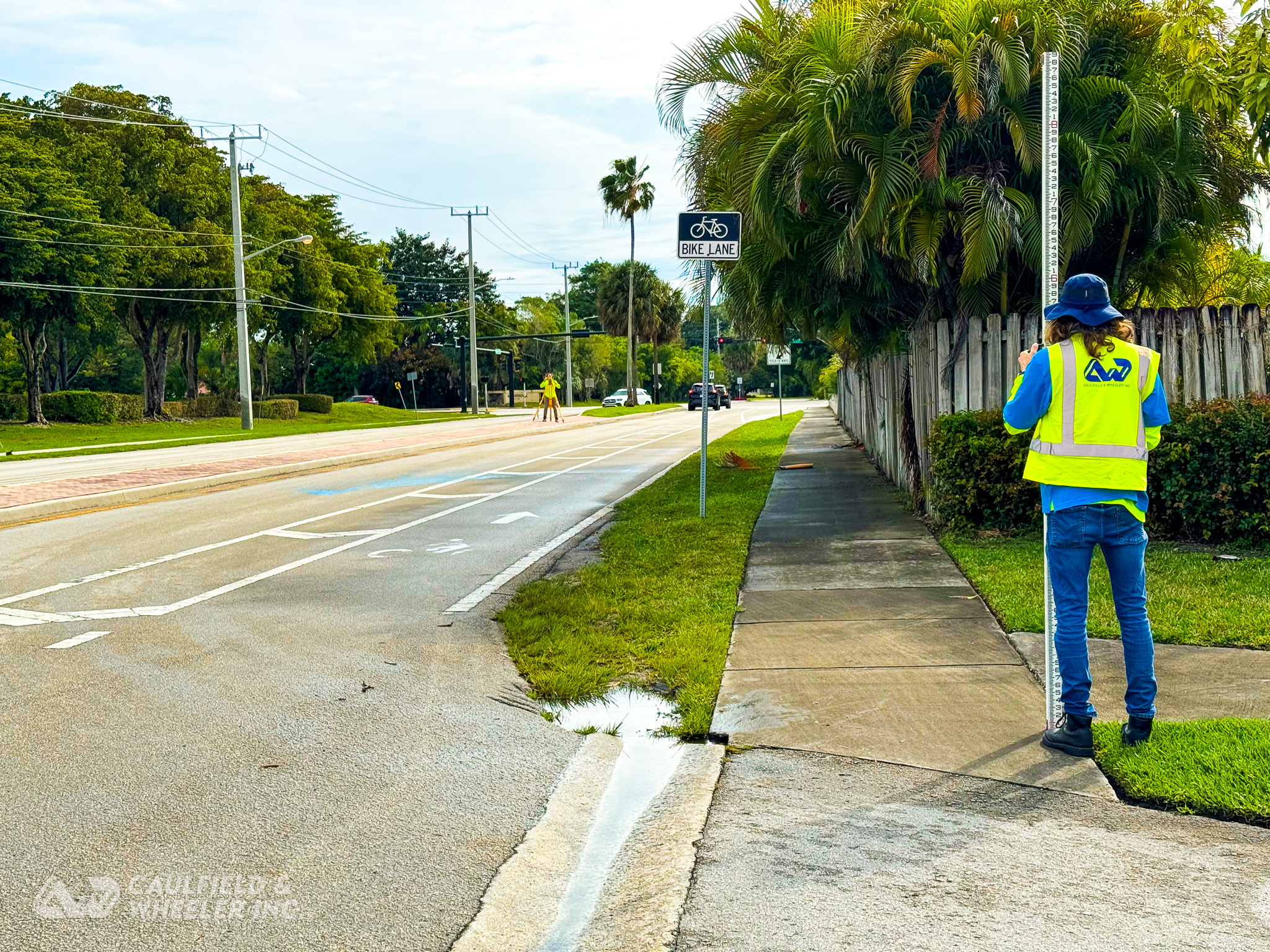
Caulfield & Wheeler, Inc. was awarded a multi-year continuing contract to serve as the Avenir Community Development District Surveyor of Record, responsible for all surveying and mapping within the district throughout development. Duties include:
- Right-of-Way surveys
- Horizontal and vertical geodetic control surveys
- Canal and levee cross-sections and profiles
- Boundary surveys
- Topographic surveys
- Specific Purpose surveys
- Hydrographic surveys
- Construction layout surveys
- As-built surveys
- Quantity surveys
- Field reconnaissance
- Professional surveying and mapping review services
- GIS (geographic information systems) services
- Aerial Photogrammetry
- LiDAR
- Unmanned Aerial Vehicles (UAV) services

